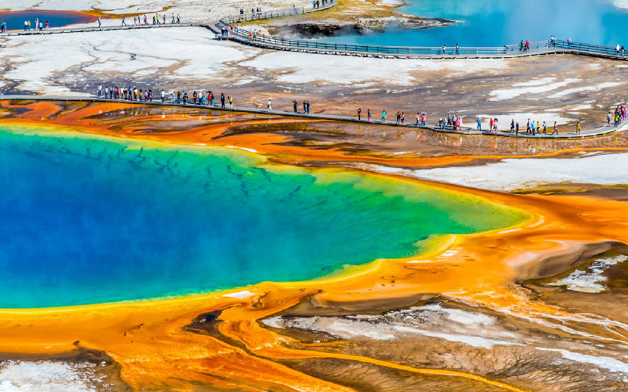
Evacuating Yellowstone would never be easy. The park gets some three million visitors a year, mostly in the three peak months of summer. The park's roads are comparatively few and they are kept intentionally narrow, partly to slow traffic, partly to preserve an air of picturesqueness, and partly because of topographical constraints. At the height of summer, it can easily take half a day to cross the park and hours to get anywhere within it. "Whenever people see animals, they just stop, wherever they are," Doss says. "We get bear jams. We get bison jams. We get wolf jams."

In the autumn of 2000, representatives from the U.S. Geological Survey and National Park Service, along with some academics, met and formed something called the Yellowstone Volcanic Observatory. Four such bodies were in existence already—in Hawaii, California, Alaska, and Washington—but oddly none in the largest volcanic zone in the world. The YVO is not actually a thing, but more an idea—an agreement to coordinate efforts at studying and analyzing the park's diverse geology. One of their first tasks, Doss told me, was to draw up an "earthquake and volcano hazards plan"—a plan of action in the event of a crisis.


